
EN
EN
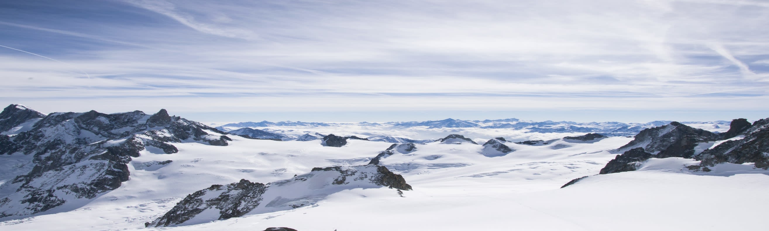
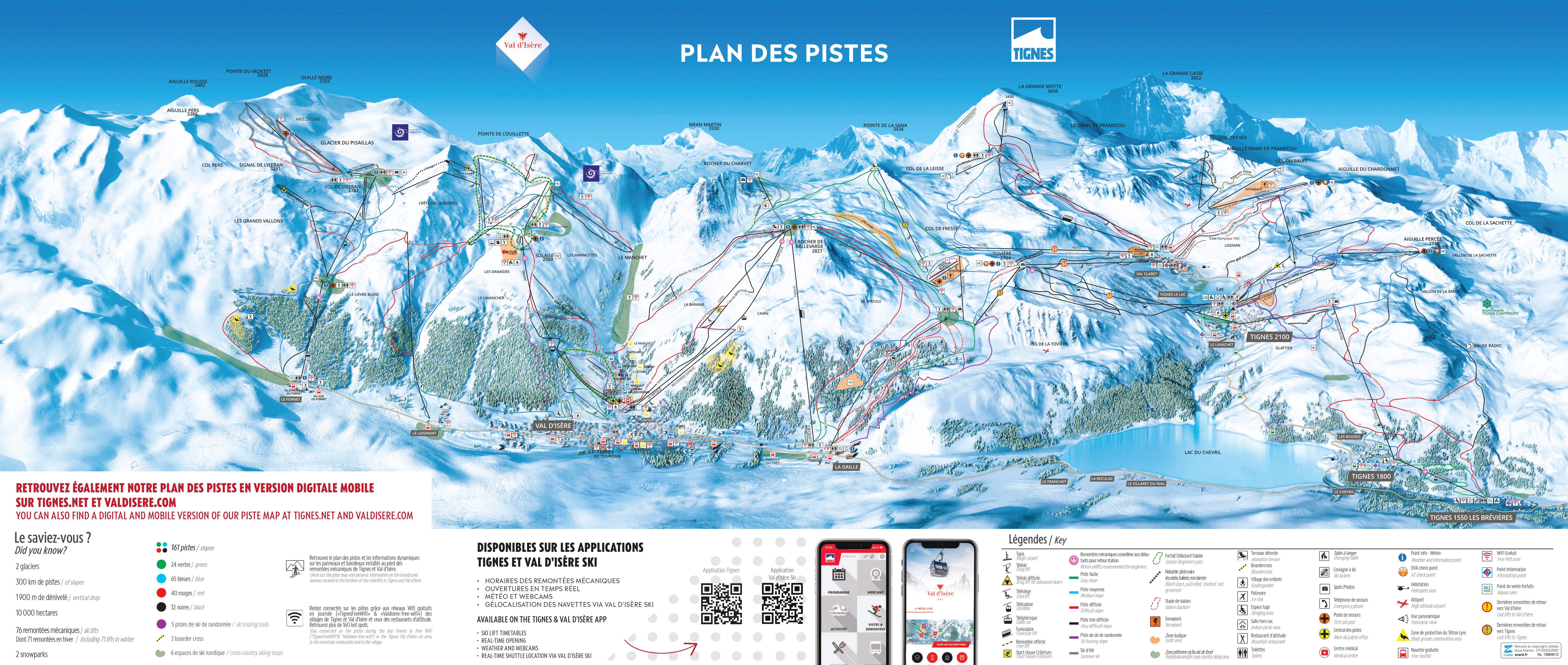
The Val d'Isère side of the Tignes-Val d'Isère area: Solaise, Bellevarde and Le Fornet, plus the Pisaillas glacier above Le Fornet. The Val d'Isère pass covers this sheet.
Tignes appears over the ridge at the western edge. The full Tignes-Val d'Isère pass covers both and takes the total past 300 km, and the crossing is a single lift from the top of Bellevarde.
Val d'Isère ski resort guide · Tignes - Val d'Isère
The village runs along the valley floor for about three kilometres and the mountain rises on one side of it in three distinct blocks. Solaise is the eastern one, Bellevarde the central one, Le Fornet the one furthest up the valley — and each has its own lift from a different point in the village, which is why where you stay along that three-kilometre strip genuinely matters. They join at altitude but not at the bottom. The fourth thing on the sheet is the Pisaillas glacier, sitting above Le Fornet and operating on its own schedule.
GreenBlueRedBlack150 km on this sheet, 300 km across Tignes-Val d'Isère, 1,550 m to 3,456 m
The big one, rising straight out of the middle of the village and carrying the Face de Bellevarde, the 1992 Olympic downhill, which drops in full view of the town. Above it the terrain opens into wide high bowls.
It is also the crossing point: the Tovière link to Tignes goes from here, which makes Bellevarde the busiest face on the sheet by a distance.
A broad high plateau above a steep lower pitch, which is an unusual and useful shape: the climb is done by the lift and what you find at the top is a wide, forgiving snowfield with greens and blues across it.
This is where Val d'Isère is kindest, and where the ski school takes people once they are past the village nursery slopes.

The quietest corner of the map, reached by cable car from the hamlet of Le Fornet three kilometres up the valley. North-facing, often empty, and linked across the top to Solaise.
Above it the Pisaillas glacier climbs to 3,300 m. It opens later in the season than the rest and holds the best spring snow on the sheet.
Better than Val d'Isère's reputation allows. The Solaise plateau and the free village lifts give you genuinely gentle ground, though it is all above a steep lower mountain, so you will be riding the lift down at the end of the day for the first week.
The strongest part of the offer, and the pass makes it stronger: Tignes on the far side doubles the map and is higher again. Spend a day there and come back over Tovière before the last lift.
One of the great resorts for this. The Face de Bellevarde, the Epaule du Charvet, and off-piste on a scale few places match — the Tour du Charvet, the Danaides, the Col Pers. All of it needs a guide, and this is terrain where that is a safety requirement rather than a nicety.
Over the Tovière ridge on the same pass, higher and more exposed, with the Grande Motte glacier at 3,456 m. The natural second half of any week here.
Twenty minutes down the same road on a separate pass — tiny, quiet and with an off-piste reputation that draws people out of Val d'Isère for the day.
Further down the Tarentaise on the Paradiski pass, and the usual alternative for anyone who wants comparable scale with more trees and gentler grading.
Package holidays to Val d'Isère with flights, transfers, accommodation and lift pass, all booked together.
See Val d'Isère ski holidays


WeSki is a trading name operated by Wetrip Weski Ltd (BR021500). All the flights and flight-inclusive vacations on this website are financially protected by the ATOL scheme. When you pay you will be supplied with an ATOL Certificate. Please ask for it and check to ensure that everything you booked (flights, hotels and other services) is listed on it. Please see our booking conditions for further information or for more information about financial protection and the ATOL Certificate go to: www.caa.co.uk.
Package vacations that do not include travel by air are financially protected via ABTOT.
For the latest travel advice from the Foreign & Commonwealth Office visit www.gov.uk/foreign-travel-advice.
Weski Europe BV (Chamber of Commerce registration number 87334100) is a registered participant of SGR. You can verify this on www.sgr.nl/english. Vacations listed on this website are covered by SGR’s guarantee, within the terms of the SGR guarantee scheme. Under SGR’s guarantee, consumers shall have their prepaid travel sum refunded if their counterparty is unable to fulfill its contractual obligations due to financial inability. Insofar as the agreement includes the transport and the destination has already been reached, the return trip will be arranged.