EN
EN
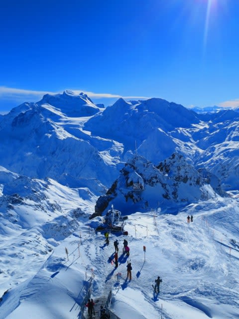
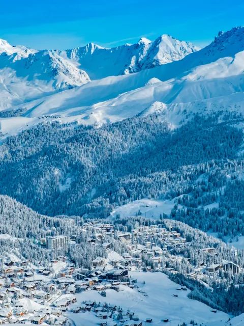
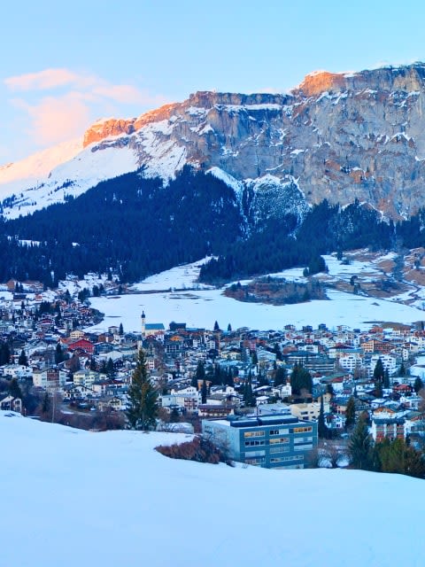
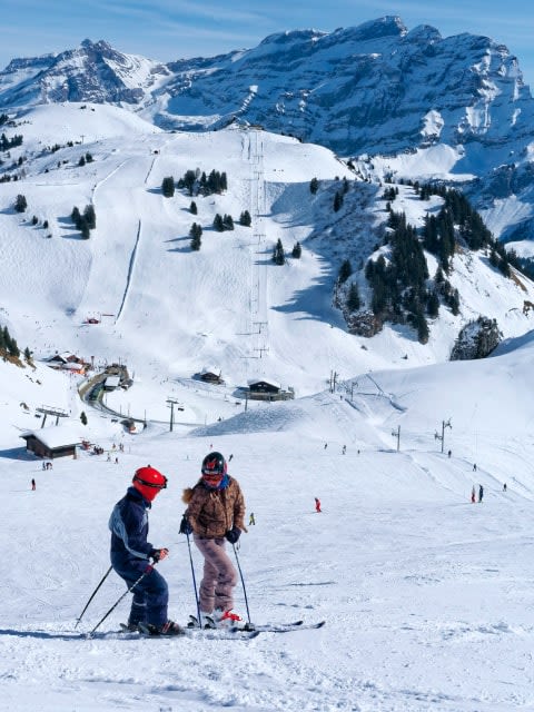
The Swiss Alps are easily one of the world’s most popular ski destinations thanks to their high-altitude resorts, breathtaking scenery, and over 4,432 miles of trails. From charming villages to cozy, flower-decked restaurants and a unique après-ski scene, Switzerland’s ski resorts have everything to turn your next ski vacation into a rich, rewarding experience you’ll never forget.
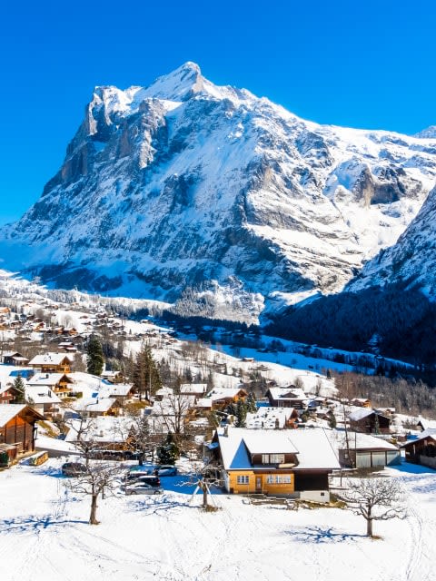
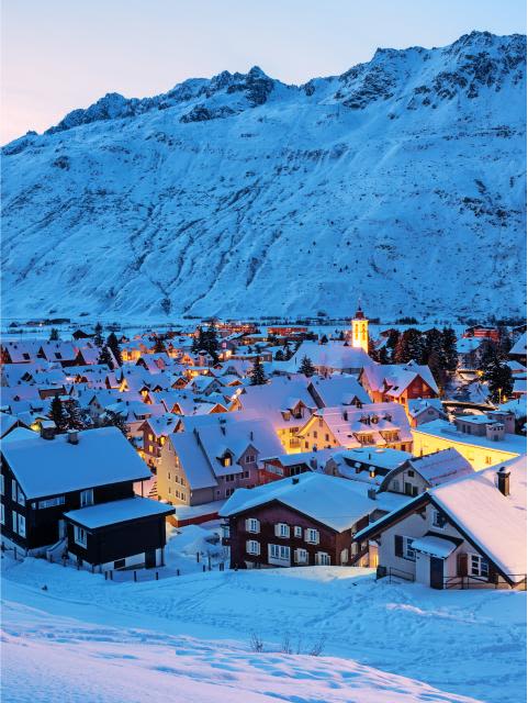
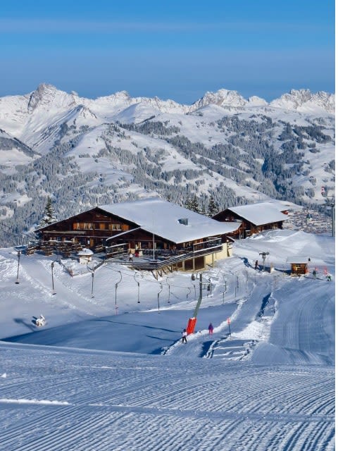
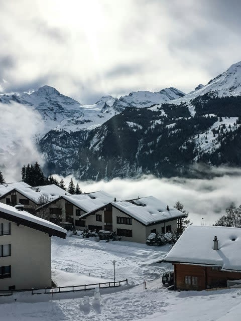
Grindelwald is one of Switzerland’s best family bases. The Jungfrau region offers a wide mix of terrain, excellent ski schools, and the kind of scenery – the Eiger, Mönch, and Jungfrau right in front of you – that makes even the transfer from the hotel feel special. Wengen, just across the valley, is car-free and compact, with a quieter, old-world feel. Both are connected by the same ski pass and suit families with children of all ages.
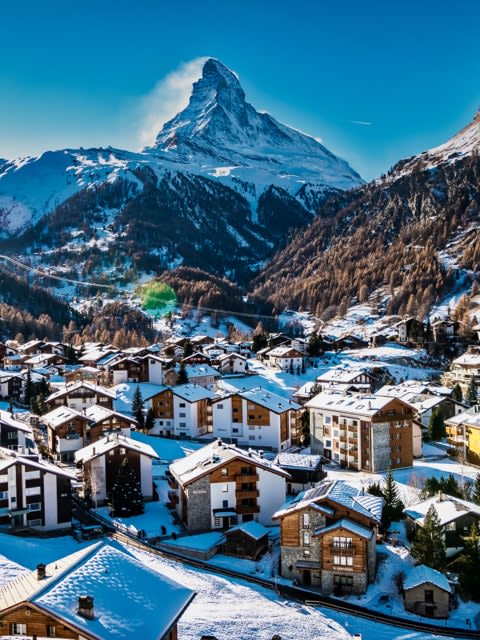
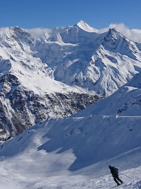
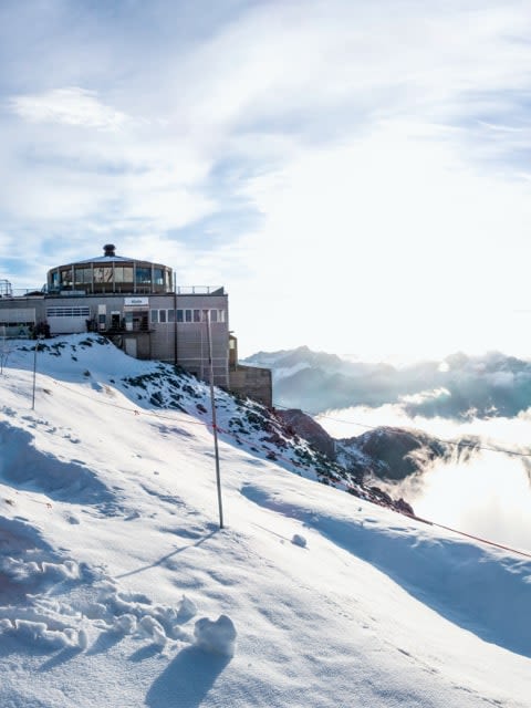
Verbier is the obvious pick for strong skiers. The 4 Vallées area is vast, with serious off-piste terrain and steep couloirs that attract freeriders from across Europe. Zermatt adds glacier skiing, long descents, and the option to ski across the border into Italy. Engelberg is a quieter alternative with excellent steep terrain and glacier access, at a more accessible price point.
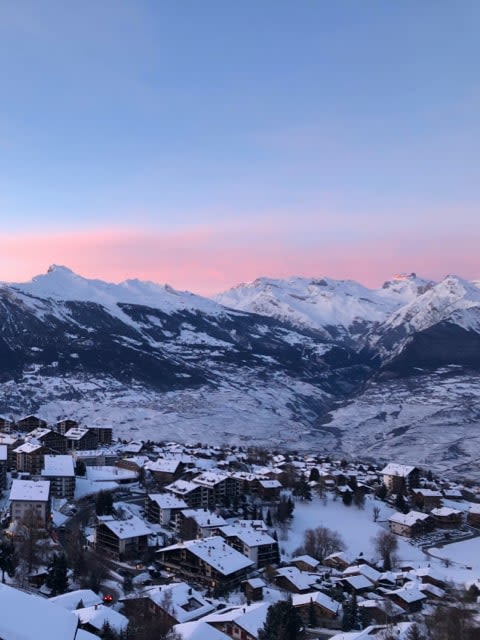
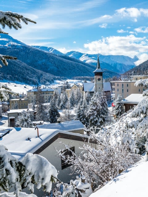
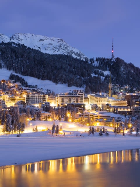
Zermatt and St. Moritz are the two names most associated with luxury skiing in Switzerland. Zermatt’s car-free village, Michelin-starred restaurants, and Matterhorn views set the tone. St. Moritz adds a more glamorous, social edge, with designer boutiques and a long history as a winter playground for the well-heeled. Gstaad offers a quieter, more refined alternative with a chalet-village atmosphere.
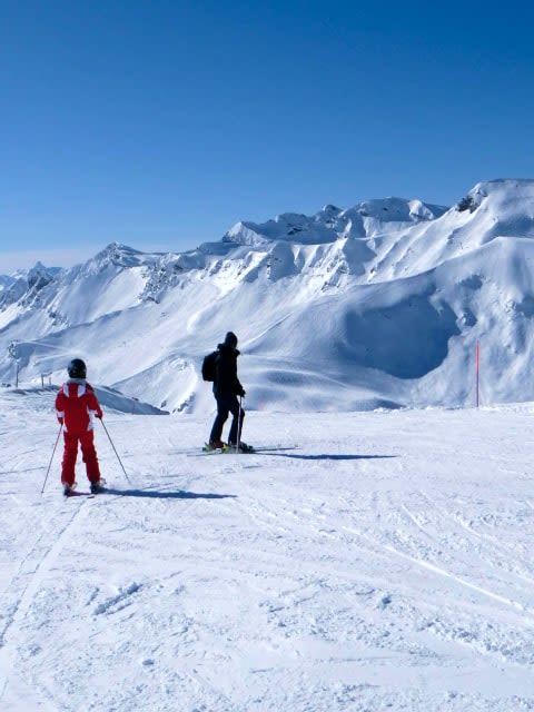
Saas-Fee is a strong choice for newer skiers – it has gentle slopes near the village, reliable snow thanks to its high altitude, and a peaceful, uncrowded atmosphere. Crans-Montana is another good option, with wide, sunny runs on a south-facing plateau and a relaxed town below. Grindelwald’s Bodmi beginner area is also well-regarded, particularly for families learning together.
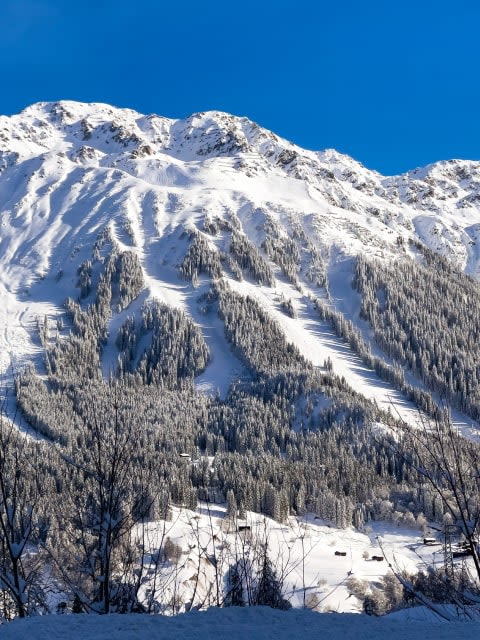
Exceptional. Switzerland has some of the most reliable snow in Europe thanks to its high-altitude resorts, plus immaculate grooming, efficient lifts, and scenery that’s hard to match. The range of resorts – from beginner-friendly villages to serious freeride destinations – means there’s something for every level.
Switzerland is generally pricier than France, Austria, or Italy for ski passes, food, and accommodation. That said, the quality of slopes, lifts, and village infrastructure reflects the cost. WeSki packages help you compare prices and find the best value across resorts.
Fly into Geneva for western resorts like Verbier and Zermatt, or Zurich for eastern resorts like Davos and St. Moritz. Switzerland’s rail network is excellent – many resorts are reachable by train. WeSki packages include transfers.
December to April for most resorts. High-altitude resorts like Zermatt and Saas-Fee extend into May, and Zermatt offers glacier skiing year-round. March and April often bring the best combination of snow and sunshine.
Yes, though it depends on the resort. Saas-Fee, Crans-Montana, and Grindelwald have excellent beginner areas and ski schools. Verbier and Zermatt are better suited to confident intermediates and above. Choose your resort carefully and you’ll have a great time.
Start building your dream ski trip today with our one-stop ski shop - hundreds of resorts, unlimited combinations.


 4.9/5
4.9/5I usually book flights, ground transportation, hotel, ski rental and lift tickets myself but this year used WeSki for a trip to Morzine. It was so much easier. Everything worked perfectly - ground transportation arrived on time and there was plenty of feedback throughout the whole process giving you confidence the vacation would go smoothly.

A really useful service that is so much easier to use than other 'all-inclusive' sites. It nicely bridges the gap between a travel agent and booking the trip yourself online. I'll use WeSki every time I go skiing from now on.
We booked a late minute skiing trip to Morzine through we ski. We looked at booking the trip ourselves but could get anywhere near the price quoted by we ski. The company was excellent and we had no problems at all from start to finish. I would definitely use them to book another weekend skiing trip.
Seamless experience from start to finish. I was spending ages trying to sort out a weekend break and managed to do it with we ski in minutes and for the same price as booking it all up yourself. Flight, transfers and accommodation was all as expected and faultless.