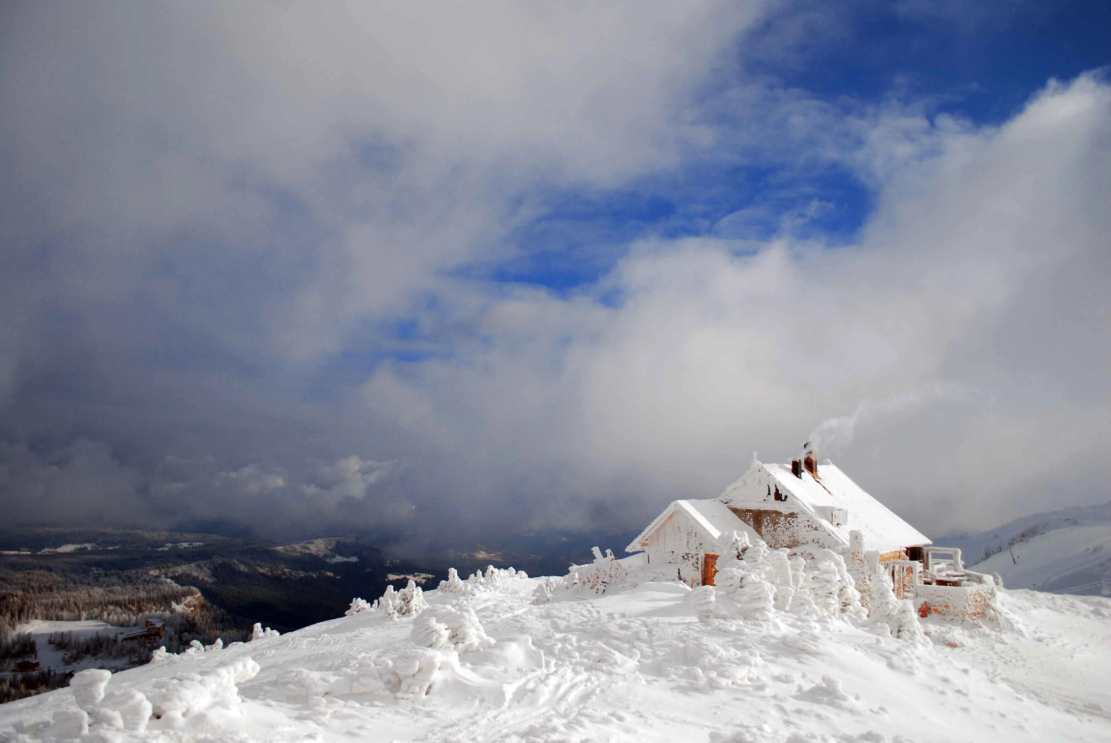
Jahorina rises above Sarajevo in the Dinaric Alps and is best known as an Olympic venue from 1984. The mountain combines sheltered, tree lined slopes with fast top to bottom runs from the Ogorjelica ridge down to the village. Prepare your ski holiday in advance: download the latest Jahorina piste map to get familiar with the trails, lifts, and the easiest links between areas before you arrive.
Jahorina ski resort piste map
Download your Jahorina piste map here below, or pick up a copy at ticket offices and information points throughout one of the four ski resorts.

Jahorina ski map downloads
- Jahorina ski map pdf
- Jahorina ski map jpg
Jahorina ski area overview
- Poljice (village base): The easiest way onto the snow and the heart of services: ski school, rentals, cafés and the main beginner zone. Easy blues sit beside carpets and drag lifts, so beginners can build confidence before heading higher. Evening laps on selected lit runs and friendly gradients make Poljice a natural start and finish point
- Ogorjelica ridge: From the top around Ogorjelica (~1,916 m/6286 ft) the mountain opens into the longest descents on Jahorina. Broad red pistes drop fall-line toward the village, with quicker chair/gondola uplift for high-frequency laps. Strong intermediates will love the carving terrain here; advanced skiers can seek out the steeper, shaded lines under and between the lifts.
- Skočine & Prača side: Swinging away from the central ridge, these sectors feel quieter and more scenic, with a mix of rolling reds and longer blues through the forest. They’re excellent for mileage days and for finding good snow later in the season. Access is straightforward from the central lifts, and there are handy on-mountain huts for breaks.
- Trnovo & adjacent links: On the edges of the map you’ll find shorter lifts and low-pressure pistes that are ideal when you want calmer slopes or a warm-up after snowfall. These connectors also help you loop back toward Poljice without committing to the steeper central routes.
Jahorina in brief
- Summit elevation: 1,916 m (6,286 ft)
- Base elevation: 1,300 m (4,300 ft)
- Max vertical drop: 616 m (2021 ft)
- Total piste length: 54 km (33 mi)
- Piste types: 48% blue, 46% red, 6% black
- Artificial snow making: 38% of the slopes
- Longest run: 3 km (1.86 mi)
- Lifts: 18
- Total lift length: 12.5 km (7.7 mi)
- Snow park/Fun park: yes