EN
EN

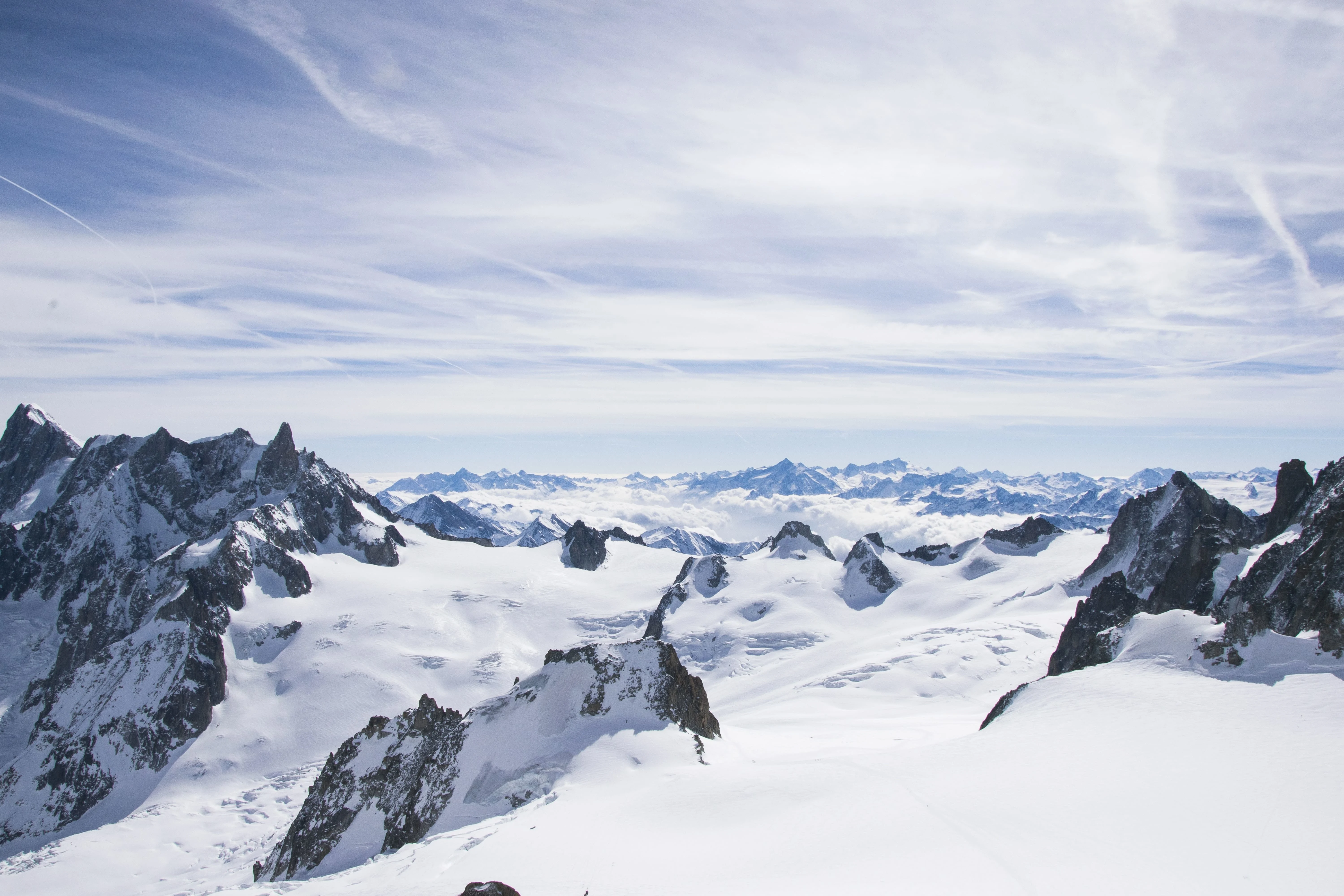
Söll, as part of the SkiWelt area, provides a paradise for skiing and snowboarding enthusiasts alike, with access to 288 km (178 mi) of skiable terrain. Plan your perfect ski holiday in advance: download the latest Söll piste map to familiarize yourself with the trails and lifts ahead of time, ensuring you maximize your ski time.
Download it here, or pick up a copy at ticket offices and information points throughout Söll.

Download the latest Söll, SkiWelt piste map
Söll, within the SkiWelt area, has predominantly intermediate terrain (approximately 40% blue, 45% red, and 15% black), known for excellent grooming and lively après-ski.
Mayrhofen - Niederau - St. Anton - Saalbach - Sölden - Kitzbühel - Alpbach - Kaprun - Kaltenbach - Ischgl - Kappl - Serfaus - Tux - Wagrain - Zell am Ziller - St Johann im Pongau - Lech Zürs - See - Seefeld - Westendorf - Grossarl - Maria Alm - Gerlos - Flachau - Galtür - Ellmau - Scheffau - Söll - Going am Wilden Kaiser - Bad Gastein - Bad Hofgastein - St Johann in Tirol - Kleinarl - Obergurgl - Obertauern - Zell am See

WeSki is a trading name operated by WeTrip Ltd. All the flights and flight-inclusive holidays on this website are financially protected by the ATOL scheme. When you pay you will be supplied with an ATOL Certificate. Please ask for it and check to ensure that everything you booked (flights, hotels and other services) is listed on it. Please see our booking conditions for further information or for more information about financial protection and the ATOL Certificate go to: www.caa.co.uk.
Package holidays that do not include travel by air are financially protected via ABTOT.


