
EN
EN


This sheet is the Les Arcs and Peisey-Vallandry side of Paradiski: four Arc villages, the Peisey-Vallandry slopes at the western end, and the Aiguille Rouge at the top. The Les Arcs pass covers everything you can see here.
The Vanoise Express at the left-hand edge is the boundary. Cross it and you are on the La Plagne sheet, which needs the Paradiski pass rather than the local one — so decide which ticket you want before you plan a day over there.
Les Arcs ski resort guide · Paradiski
One enormous mountainside above the Isère, and the map is organised vertically by village. Arc 1600 sits in the trees at the bottom, then 1800, then 1950 and 2000 up on the open ground, each with its own lifts feeding the same shared terrain above. The practical consequence is that your altitude decides your week: from 2000 you drop into the high bowls immediately, from 1600 you spend the first lift of the morning climbing. The Aiguille Rouge at 3,226 m is the high point and the one run that touches every level of the map on the way down.
GreenBlueRedBlack200 km and 52 lifts on this sheet, 1,200 m to 3,226 m; 425 km across Paradiski
The two lower villages and the tree-lined ground between them, which is the part of the map you want in flat light when the top is a white-out. The Mille8 area above 1800 holds the family terrain and the night-skiing run.
1800 is the largest of the villages and the practical centre of gravity on this side. Most lifts out of it point up and right towards the Transarc, which is the main artery to the high ground.
Above the treeline, and where the map opens out into wide bowls under the Aiguille Rouge and the Varsé sector. This is the snow-sure half: north-facing, over 2,000 m, and holding condition long after the lower runs have gone heavy.
Arc 1950 and Arc 2000 sit a few hundred metres apart and share these slopes, so for reading the map they are effectively one sector with two sets of beds.
The high point at 3,226 m and the single most useful thing on this map. From the top, the Aiguille Rouge descent runs 7 km and just over 2,000 m of vertical all the way to Villaroger at the bottom edge of the sheet — one of the longest continuous descents in the Alps.
The cable car is small and exposed, so it closes in wind more often than the rest of the mountain. Take it early in the day and early in the week.
The quieter, prettier end of the sheet: tree-lined runs above two traditional villages, noticeably emptier than the Arc slopes, and the gentlest grading on the map.
It also holds the Vanoise Express station. If La Plagne is part of your plan, this corner is where every one of those days starts and finishes, which is worth factoring into where you stay.
Every village has its own marked beginner zone, which is unusually well organised, and the Peisey-Vallandry end has the gentlest runs on the sheet. The honest caveat is scale: it is easy here to take one wrong lift and end up somewhere well above your level, so stay on the village sectors for the first few days.
The resort is built for this level and the high bowls above 1950 are the heart of it. With the Paradiski pass you get La Plagne as well — La Plagne or Les Arcs is worth a read if you are deciding which side to sleep on.
Better than Les Arcs' family reputation suggests. The Aiguille Rouge face, the Robert Blanc and the Varsé blacks give you genuine sustained pitch, and the north-facing aspect above 2,500 m keeps them in condition. The off-piste off the back of the Aiguille Rouge is serious terrain and wants a guide.
The other half of Paradiski, across the Ponturin valley on the Vanoise Express. Same pass if you buy the full one, separate sheet, and about four minutes in the cable car.
On this map rather than beside it, but a resort in its own right — and the quietest place to stay if you plan to use the Vanoise Express more than once.
Further up the same valley on a separate pass, and the usual step up for anyone who finds the Aiguille Rouge face too short an answer.
Package holidays to Les Arcs with flights, transfers, accommodation and lift pass, all booked together.
See Les Arcs ski holidays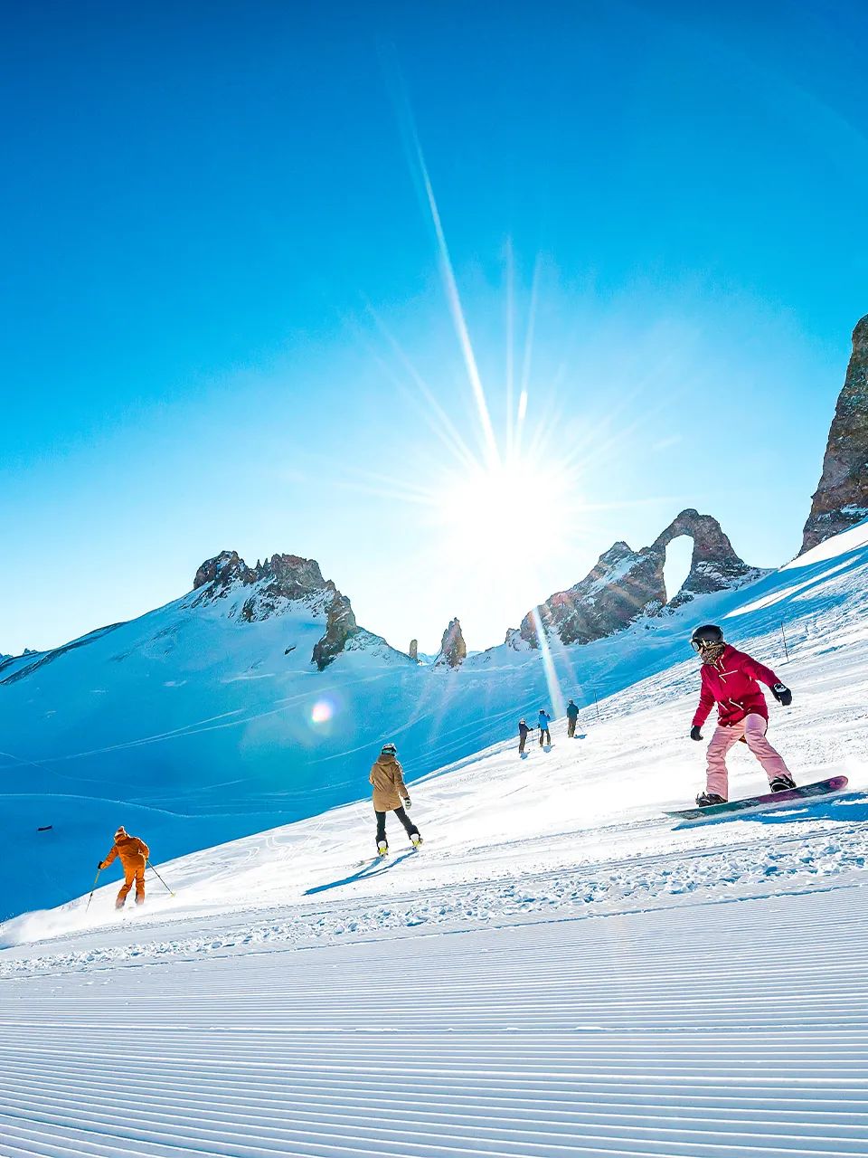
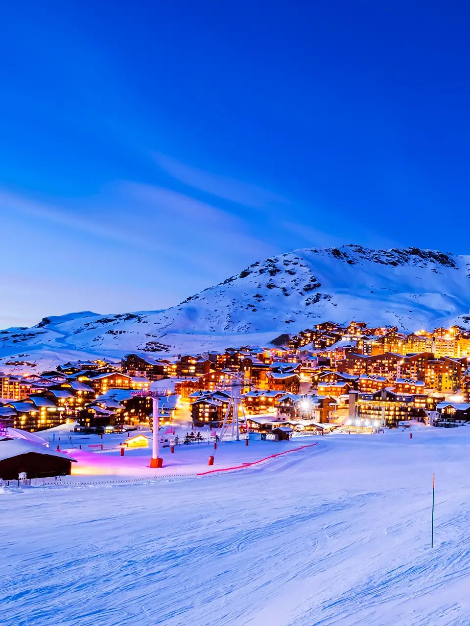
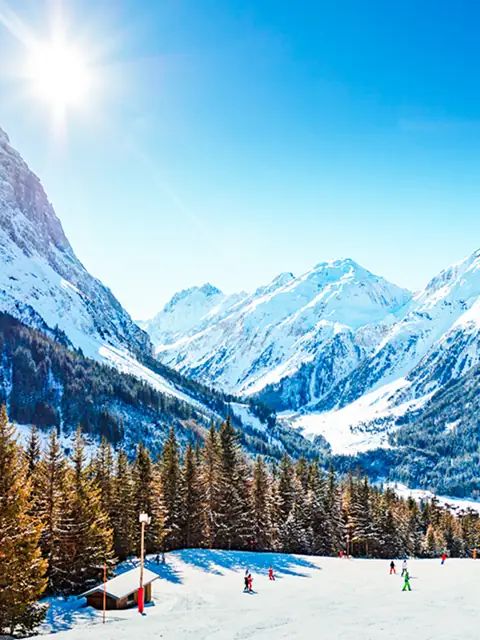



WeSki is a trading name operated by Wetrip Weski Ltd (BR021500). All the flights and flight-inclusive holidays on this website are financially protected by the ATOL scheme. When you pay you will be supplied with an ATOL Certificate. Please ask for it and check to ensure that everything you booked (flights, hotels and other services) is listed on it. Please see our booking conditions for further information or for more information about financial protection and the ATOL Certificate go to: www.caa.co.uk.
Package holidays that do not include travel by air are financially protected via ABTOT.
For the latest travel advice from the Foreign & Commonwealth Office visit www.gov.uk/foreign-travel-advice.