
EN
EN


This sheet is the Chamonix Valley ski area: the four sectors below, all covered by the Chamonix Le Pass. The Mont Blanc Unlimited pass reaches beyond it to the Aiguille du Midi, Montenvers and the Italian side at Courmayeur, which is what takes the Mont Blanc Massif total past 410 km (254 mi). If you're not sure which you need, here's how ski passes work.
Chamonix ski resort guide · Ski resorts in France
Chamonix isn't one ski area. The map shows four separate sectors strung along the valley, none of which connect to each other on skis — you move between them on the free valley bus or the Mont Blanc Express train, both included with your lift pass, and the journeys take 10 to 25 minutes. Which sector you base your week around matters more here than at almost any other resort.
16 green27 blue25 red12 black80 runs, 65 lifts, 1,035 m to 3,842 m

The biggest and most serious sector on the sheet, partly glacial, spread across three mountainsides: Argentière, Lognan and La Pendant. The density of red and black lines tells you what it's for. If you're coming to Chamonix to ski hard, this is where the week happens.

The only sector you can reach on foot from the town centre, via the Brévent gondola. Two slopes joined by a cable car, south-facing and sunny, with a spread of runs across every level. This is the convenience sector, and the one with the Mont Blanc view everyone photographs.

Wide, open and gentle, with greens and blues dominating the sector. It's the obvious choice for families and anyone still finding their feet, and it sits far enough up the valley to stay quieter than Brévent on a busy week.

Tree-lined and lower than the rest, which makes it the sector to head for on a bad-visibility day when the high ground is unskiable. It also holds La Verte, the Kandahar World Cup downhill course, which is far more enjoyable than its reputation suggests in good conditions.
Le Tour / Balme for the wide gentle terrain, plus the nursery areas at Les Planards and La Vormaine near the town. Chamonix isn't a natural first-timer resort, and the valley's reputation is built on the opposite, so it's worth knowing that before you book. Chamonix or Les Houches is the useful comparison here.
Brévent-Flégère has the best spread of blues and reds in one place, and Les Houches gives you long tree-lined cruising. The catch is the bus: you'll change sectors more often here than in a linked ski area.
Les Grands Montets, and the Vallée Blanche off the Aiguille du Midi: 20 km (12.4 mi) of glacier descent, off-piste, guide required. Le Pas de Chèvre and Les Pylônes are the serious marked blacks, and La Verte in Les Houches is the Kandahar downhill course.
A sector of the Chamonix map and a resort in its own right, with its own village at the valley entrance, covered by the Chamonix Le Pass.
Over the hill on the Evasion Mont-Blanc map rather than this one, so a separate pass — but close enough that anyone weighing up the valley should look at both.
The largest resort on the Evasion Mont-Blanc map, around 35 minutes from Chamonix and a completely different kind of week: bigger linked skiing, gentler terrain, a traditional village.
Through the Mont Blanc tunnel on the Italian side and included on the Mont Blanc Unlimited pass, which is why it counts towards the 410 km total above.
Package holidays to Chamonix with flights, transfers, accommodation and lift pass, all booked together.
See Chamonix ski holidays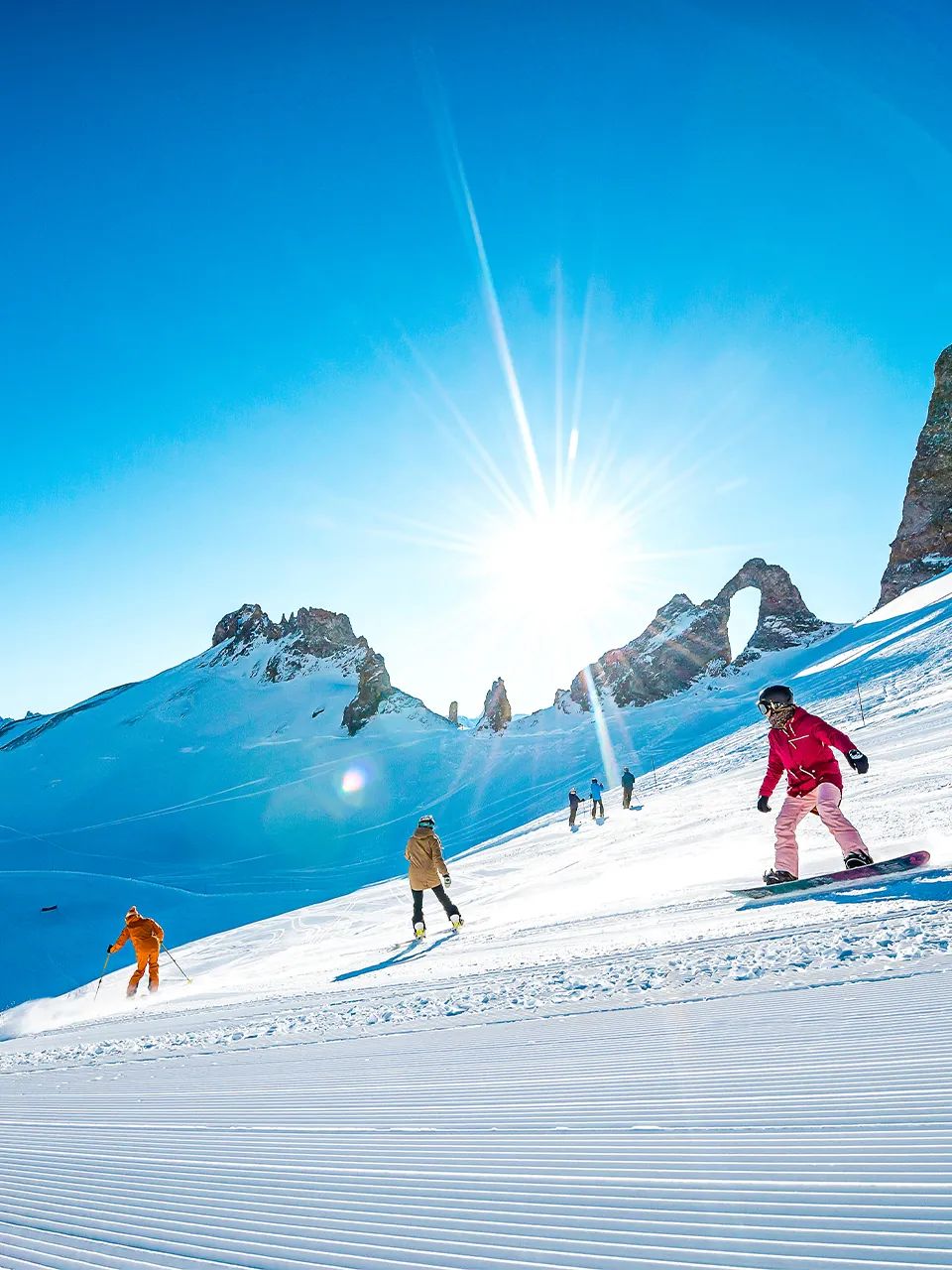



WeSki is a trading name operated by Wetrip Weski Ltd (BR021500). All the flights and flight-inclusive holidays on this website are financially protected by the ATOL scheme. When you pay you will be supplied with an ATOL Certificate. Please ask for it and check to ensure that everything you booked (flights, hotels and other services) is listed on it. Please see our booking conditions for further information or for more information about financial protection and the ATOL Certificate go to: www.caa.co.uk.
Package holidays that do not include travel by air are financially protected via ABTOT.
For the latest travel advice from the Foreign & Commonwealth Office visit www.gov.uk/foreign-travel-advice.
Weski Europe BV (Chamber of Commerce registration number 87334100) is a registered participant of SGR. You can verify this on www.sgr.nl/english. Holidays listed on this website are covered by SGR’s guarantee, within the terms of the SGR guarantee scheme. Under SGR’s guarantee, consumers shall have their prepaid travel sum refunded if their counterparty is unable to fulfil its contractual obligations due to financial inability. Insofar as the agreement includes the transport and the destination has already been reached, the return trip will be arranged.